Entradas

Golden Shore Marine Biological Reserve Park | Long Beach, CA

Imagen
The Golden Shore Marine Biological Reserve is in the heart of downtown Long Beac h. Less than two centuries ago, this area was surrounded by wetlands fed by the ocean and the Los Angeles River. By the early 1900s, the Port's creation altered landscape. Dredged and drained, the wetlands of Long Beach were reduced to remnants. The Reserve  was created in 1997 on land that was once ocean and later a boat launch ramp. Nowadays, it helps replace habitat lost to development at Rainbow Harbor. While it is only a fraction of Long Beach's original wetland , it offers a home for wildlife. This protected natural zone is a great spot for bird-watching. You might see: egrets, herons,  cormorants,  ducks, pelicans and a variety of shorebirds. This is an easy walk on level paved ground. The LA River Bike Path goes right around the perimeter of the park.

Mount Pinos Loop | Los Padres National Forest, CA

Imagen
Mount Pinos is the highest peak in the  Ventura County , reaching an elevation of 8,847 feet (2,697 m). Its located in the southern portion of the Los Padres National Forest . The Mount Pinos trail begins on the left side of the Chula Vista parking lot . The trail climbs gradually through a pine forest until it reaches a big meadow . Here you can leave the track on the left and continue to the edge of the cliff. You will be stunned by the amazing panoramic views all around. Go back to the track and walk across the meadow into a forest where the trail picks up again. A little further ahead appears another meadow where you can see the radio towers atop Mount Pinos . The peak is relative flat and  less forested than the surrounded area. The Mount Pinos area offers incredible views that include the San Joaquin Valley to the north, the Tehachapis to the east, and the Carrizo Plain and Temblor Mountains to the northwest. The Mount Pinos is kno...

Fishbowls and Cedar Creek Loop Trail | Los Padres National Forest, CA

Imagen
This is a loop trail in the Sespe Wilderness which is a section of Los Padres National Forest (California) . We started at Fishbowls Trailhead where there is a place to leave the car next to the  Grade Valley Road . From the Fishbowls Trailhead , the  Fishbowls Trail climbs over a small hill before descent towards Piru Creek . The footpath follows Piru Creek upstream and leads through some rich scenery plenty of huge pines. After hiking around 6 miles, the route arrives at the  Fishbowls campground . Piru Creek Piru Creek We left the Fishbowls campgroung behind and the pathway climbs up a ridge, moving away from Piru Creek as it makes its way towards Cedar Creek Trail . This part of the route offers some expansive panoramic views of countryside around. The southern part of the  Fishbowls Trail  is more mountainous and reaches an elevation of 1,776 meters at its highest point.  About 1.5 mil...

San Guillermo Mountain | Los Padres National Forest, CA

Imagen
San Guillermo Mountain  is located in Los Padres National Forest  (California) . To make this hike you must drive to the  Pine Spring campground  where is the trailhead. From the parking area you must hike southwest following cairns and the occasional pieces of colored tape hanging from tree branches. A short distance later, you must left the creek bed and climb up to the top of a ridge. This is not the main summit, but from here the highest point of the San Guillermo Mountain is now visible to the northwest. 🦌 With a little luck, you might see local fauna like deers. The path goes down and then ascend through a burnt hillside of San Guillermo Mountain . At the top of this 2,013-meter summit the view is great. You can admire the impressive expanse of the Sespe Wilderness and the sandy ridges about Wagon Road Canyon Park . San Guillermo Mountain Sespe Wilderness Wagon Road Canyon Park You can return back the way you came or follo...

Discovering Naples Island in Long Beach, California: a touch of Italy on the West Coast

Imagen
Ruta y Video 🗺️ Route map 🎬 Video In the heart of Long Beach, California , lies one of Southern California’s most picturesque neighborhoods: Naples Island . Built on three man-made islands connected by canals that flow into Alamitos Bay, this charming district was inspired by the romantic spirit of Venice. Here you’ll find scenic walks lined with luxury mansions, Italian-themed street names, and even the chance to glide through the canals on a real gondola. Long Beach sits on the Southern California coast, in the southern part of Los Angeles County. It is home to one of the country’s busiest ports and is located about 30 kilometers (18 miles) south of downtown Los Angeles , making Naples Island a perfect day trip or weekend getaway from the city. Visiting Naples Island feels like stepping into a Mediterranean dream, right in the middle of the California coastli...

Signal Hill Trail | When oil derricks rules the landscape

Imagen
Signal Hill is a city in California located in Los Angeles area . Situated on a hill, it remains the only city in America completely surrounded by another city: Long Beach . A great oil field was discovered in 1921. Soon, Signal Hill was covered with derricks  which produced 250,000 barrels a day. Signal Hill was covered with over 100 oil derricks and because of its prickly appearance became known as "Porcupine Hill". The mountain of Signal Hill has been cleaned up and its slopes now host more houses than oil wells. The hill is a quieter place now, although a few wells are still pumping oil. You can explore this place walking along the Signal Hill Trail . There are different dirt and paved paths around the hill so you be able to improvise your own route. This loop visits Signal Hill’s most scenic parks : Hilltop Park and Discovery Well Park .   Hilltop Park  is at the top of  Signal Hill  and is very popular for its great views of the...

Shoreline Village | Long Beach, CA

Imagen
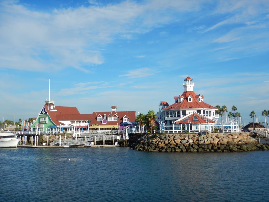
Shoreline Village  is a family friendly destination in  Long Beach (California) . This place is located on the waterfront within walking distance of Downtown . Styled after a quaint Cape Cod fishing village , Shoreline Village is a shopping, dining and entertainment center. There is also an arcade, perfect for bringing kids to. The Village has spectacular views of the  Queen Mary , the city buildings and the  Shoreline Aquatic Park . The Shoreline Village offers several events during the year.    

Chiquito Trail to Chiquito Falls | Cleveland National Forest, CA

Imagen
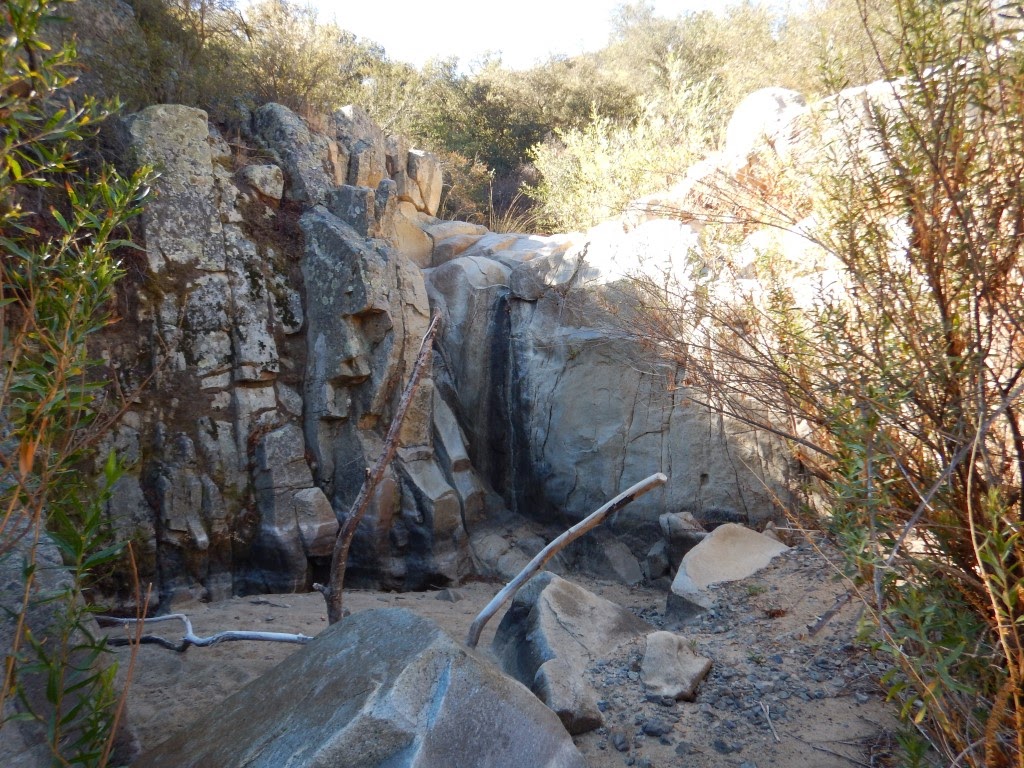
Chiquito Trail to Chiquito Falls is a 9-mile loop trail located in the Cleveland National Forest , near Lake Elsinore (California) . The trail leads us to a seasonal waterfall and offers a great views of Orange and Riverside counties . This hiking route can be quite hot, so bring sunscreen, hats and plenty of water. The start point is in the big parking in front of The Candy Store on Ortega Highway. A Forest Adventure Pass is required for each vehicle parked which can be purchased at the candy store. You can eat a delicious apple pie in the Candy Store on Ortega Highway. 😍🍰 The Candy Store on Ortega Highway The Chiquito trail can be accessed from the San Juan Loop . At the northeast corner of the parking lot you’ll see a sign marking the San Juan Loop trail head . The path climbs for a short distance and then descends to the  San Juan Falls , which are dried up during the drought season. San Juan Falls Great Basin fence lizard ...