Entradas

Space Shuttle Endeavour | California Science Center, LA

Imagen
The Space Shuttle is the only winged manned spacecraft to have achieved orbit and land, and the only reusable space vehicle that has ever made multiple flights into orbit. The Space Shuttle Endeavour was the fifth and final orbiter to be built. On October 30, 2012, the California Science Center became the permanent home of the Endeavour . General admission to the California Science Center is free to the public but visiting the Endeavour requires a ticket, which only costs $2. The Endeavour exhibit shows the story of the American space exploration program. You may stay in the exhibition as long as you like. The museum displays the shuttle horizontally while it builds the Air and Space Center. When that center opens, the shuttle will be on display in its vertical launch position, as though it’s ready for take-off.
Belmont Veterans Memorial Pier | Long Beach, CA

Imagen
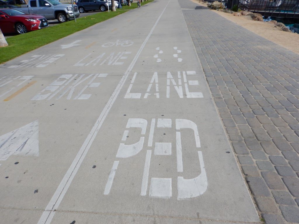
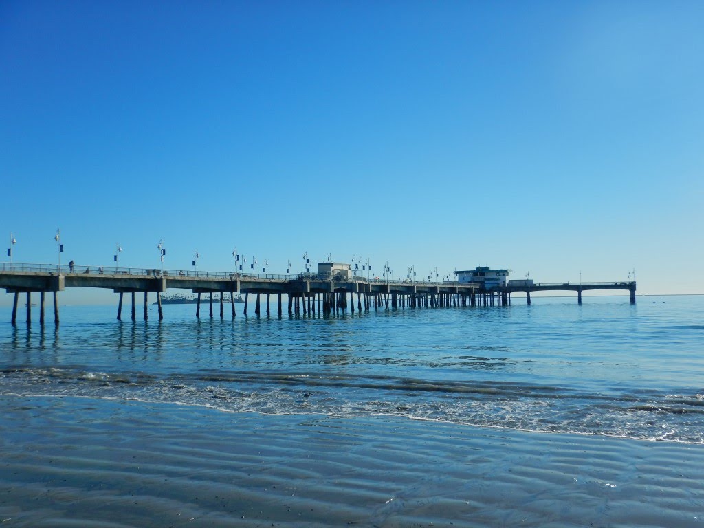
The Belmont Veterans Memorial Pier is a popular site for fishing and strolling in Long Beach . It is located just a few minutes from second street and is surrounded by the beach. You can easily access from the Downtown by walking through the Shoreline Pedestrian/Bicycle Path . This pier was first built at a location known as "Devil's Gate". In 1967 the new concrete Pier opened east of the old one. Their characteristics are 1800 feet long and 24 feet wide, with an enlarged hexagonal area at the seaward end, and two wings extending 120 feet east and west. It was renamed in 2005 as "Belmont Veterans Memorial Pier" . An inscription was added at the entrance: The people of Long Beach dedicate this pier to the men and women of our nation's armed forces, as a tribute to their love of country and a memorial to their sacrifice.

Walter Pyramid | Long Beach, CA

Imagen
The Walter Pyramid  has become a recognized icon for the city of  Long Beach (CA) . Designed by architect  Don Gibbs, it is one of only three true pyramids in the United States. You can explore the city walking from Downtown to the Walter Pyramid . The route takes two hours and covers approximately 10 km. There are some interesting spots along the way including the Colorado Lagoon . This impressive cobalt-blue building is located on the campus of Long Beach State University . It measures 345 feet on each side of its perfectly square base. Depending on the day and the lighting, the blue takes on a different shade. The pyramid officially became named the Walter Pyramid thanks to the generous donations presented to the university by Dr. Mike and Arline Walter. Home to Long Beach State's Basketball and volleyball teams , it also hosts multiple events throughout the year.

Portuguese Bend Trail to Sacred Cove | Palos Verdes Nature Preserve, CA

Imagen
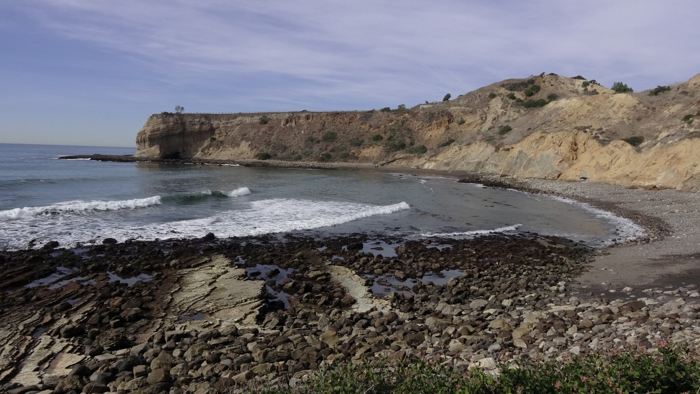
The Portuguese Bend Reserve is one of nine reserves that make up the Palos Verdes Nature Preserve , in the southwest corner of Los Angeles County . It is a good place for walking and seeing wildlife and native plants.  The Portuguese Bend Reserve consists of rolling hills, canyons and rock outcrops. The zone contains coastal sage scrubs habitats, a community of fragrant and drought resistant shrubs and flowering plants. The well-marked network of trails within this reserve offers an extraordinary scenic views of the Pacific Ocean and the Catalina Island. View of Catalina Island The main entrance of the park is near Del Cerro Park , at the end of Crenshaw Boulevard . A wide dirt trail descends towards the Palos Verdes Dr S highway . Then we followed the beach trail down to Sacred Cove . The Sacred Cove (or Smuggler's Cove) is a deep cove bordered by two prominent points: the  Portuguese Point and the  Inspiration Point . Sacred Cove beach is m...

Harbor seals at Sacred Cove | Palos Verdes Peninsula, CA

Imagen
California has some of the most diverse marine life in the world. If you’re walking along one of the beaches of  Palos Verdes Peninsulas , you’ve got a good chance of seeing harbor seals ( Phoca vitulina ). During our last hike we visited the Sacred Cove (or Smuggler's Cove) . Is a deep cove bordered by two prominent points: the Portuguese Point and the Inspiration Point . In this last one we saw a group of seals sunbathing. ᶘ ᵒᴥᵒᶅ  ᶘ ᵒᴥᵒᶅ  Harbor seals are awkward on land but graceful in water.  The harbor seals are not migratory and stay generally within 50 miles of home. Small groups haul out in shoreline areas to breed, rest or just to warm themselves in the sun. They feed on many species of fishes, such as herring, anchovy, mackerel, and occasionally also eat squids, shrimps, mollusks and crabs.

Downtown Fitness Loop | Long Beach, CA

Imagen
The Downtown Fitness Loop is one of the Fitness Loop in Long Beach , California . It is a 4.8-mile walking/running path bordered by Alamitos Avenue, East Shoreline Drive, Aquarium Road, West Shoreline Drive and Ocean Boulevard. The loop has distance markers that connect fitness equipment stations, allowing exercisers to develop a routine suited for them.  The fitness loop complements the Beach Pedestrian Path and the nearby Bixby Fitness Loop. The loop have distance markers that connect five active fitness equipment stations such as pull up and dip bars, and six passive stations for activities like balance stretching and squats. This tour will take you to the highlights of the  downtown area . The Ocean Center Building Alamitos Beach Shoreline Marina Island Grissom viewpoint Shoreline village Pine Avenue Pier Downtown Landing

Ruta al Pic de Quartiules desde les Planes de Son | Pallars Sobirà

Imagen
Si estáis buscando una excursión sencilla pero llena de paisajes impresionantes en el Pirineo de Lleida, la ruta que os llevará desde Les Planes de Son hasta la cima del Pic de Quartiules (2.226 m) es una opción perfecta. Este recorrido no solo os permitirá disfrutar de la naturaleza en estado puro, sino también experimentar la belleza de las Valls d'Àneu en pleno invierno, con la nieve como compañera constante. A continuación, os detallamos esta emocionante ruta paso a paso. Inicio de la ruta en Les Planes de Son El punto de partida de esta aventura es Les Planes de Son , un paraje ubicado en las Valls d'Àneu . Aquí se encuentran las instalaciones de MónNatura Pirineus . Desde el inicio, la nieve cubría el paisaje, creando un ambiente mágico que os acompañará durante toda la ruta. Cruzando Les Planes de Son , dejamos a nuestra izquierda la Riera del Tinter mientras nos dirigimos hacia el bosque. Planes de Son Ascenso al Refugio del Pla de la Font Una vez en el bosque, se...

Fortynine Palms Oasis Trail | Joshua Tree National Park, CA

Imagen
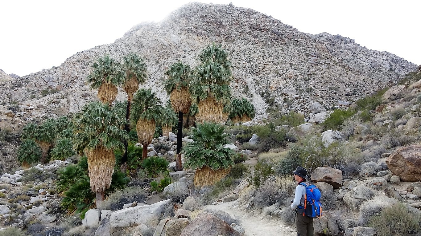
The Fortynine Palms Oasis Trail is a three-mile round-trip hike to a fan palm oasis located in the middle of nowhere. The oasis is located in the hills close to the northern Joshua Tree National Park boundary. Leaving from the parking area , the trail begins climbing up the mountain. The path heads uphill from the start on a well maintained single track. Each step increases the view of the surrounding desert. After winding around the ridgetop, the trail descends to the oasis. The trees were planted by miners to mark the spring that now irrigates the zone. The darkened trunks of the palms reflect the number of fires that have come through the area in recent history.