Entradas

Mostrando las entradas etiquetadas como Ontario

Heritage Trail | Pinery Provincial Park - Ontario

Imagen
Several walking trails are available for exploring the Pinery Provincial Park (Ontario) . The Heritage Trail is a relaxed stroll that will lead you to a viewing platform that overlooks the Old Ausable Channel after meandering through an exceptional example of upland Oak Savanna habitat.  🍔🍎 The platform over the Old Ausable Channel is a perfect place for a short rest or a picnic.  The term "oak savanna" refers to a plant community with scattered "open-grown oaks" surrounded by grasses. In the early 60’s, many pine trees were planted in the park. The park seems to have been named after the trees that were planted but the main native ecosystem was an oak savanna. During winter months, the trail is the perfect location for a quiet  snowshoe stroll . Go and explore the park yourself! Platform over the Old Ausable Channel Old Ausable Channel Old Ausable Channel  

Cedar Trail | Pinery Provincial Park - Ontario

Imagen
Pinery Provincial Park  is a provincial park located on the shore of Lake Huron (Ontario) . The variety of habitats in Pinery make the park a unique place. It is a natural environment created to preserve the Oak Savanna and the beach dunes . You can choose one of the numerous hiking trails for explore the natural environment of this park. There is so much to do for everyone. The Cedar Trail is a nice little leisurely hike. Nothing too difficult, with a nice little lookout over the Old Ausable Channel . The loop portion of the trail is wheelchair accessible. Along this trail you will discover one of North America's rarest habitats; the Oak Savanna .  🌳🌲 This term describes a plant community of widely spaced trees with open crowns that allow much sunlight to reach the ground. This light supports a rich ground cover of prairie grasses, shrubs and flowers. Trail head Old Ausable Channel You may also extend your hike and follow the 850 m extension t...

Stroll along Downtown London | Ontario

Imagen

Kilally Meadows - Environmently Significant Area | London (Ontario)

Imagen
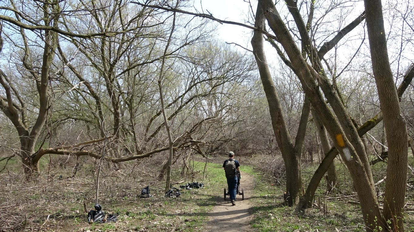
Kilally Meadows  is located in northeast London along the Thames River , Ontario . It comprises a number of habitats including woods, meadows and swamps. Take your time and explore the area walking through the existing paths. Most of the trails are flat and easy to walk. The main access points are at the east end of Windermere Road and the west end of Kilally Road . This place has one of London’s most beautiful forests .  The river and diversity of habitats make this site an excellent place for wildlife .

McCormick Park | London (Ontario)

Imagen
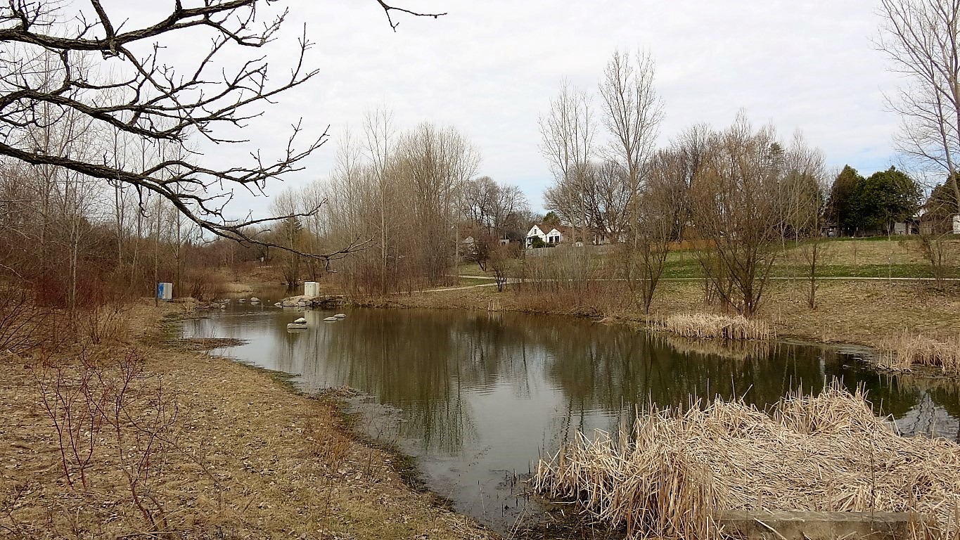
McCormick Park is a nice small park in North East of London (Ontario) . It has some nice trails that go round the puddle ponds in the middle parts. The park is bordered to the north by the Canadian Pacific Railway . The ducks are fairly friendly and there are turtles and other wildlife. VIDEO CORNER

London International Airport - The Royal Canadian Regiment | London (Ontario)

Imagen

​Gibbons Park | London (Ontario)

Imagen
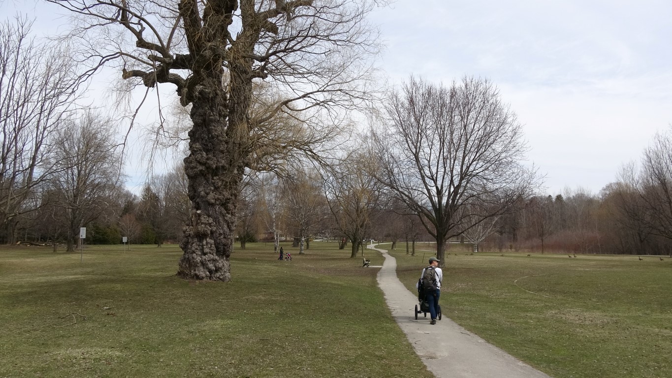
London has several natural spaces where you can go for stroll. Gibbons Park is one of these sites located in Central North of the city. The Thames Valley Parkway cross all the park so you can walk up or down the shoreline of the Thames river as far as you want.  Walking trails  are clean and easily accessed. 🌎 The Thames Valley Parkway ; otherwise known as the TVP , is the city’s primary multi-use pathway system. Gibbons Park has three tennis courts and a warmed open air swimming pool. The place has many sitting areas which makes it the ideal spot to bring the family for a day of fun. The  Thames River  is on one side and there are gorgeous old trees scattered throughout.  Birdwatchers have been coming to Gibbons Park for years to observe great horned owls . Great horned owl Thames River

George Island Wilderness Trail | Killarney - Ontario

Imagen
La aldea de Killarney está situada en la Georgian Bay , en la provincia de Ontario ( Canadá) . La  George Island  protege Killarney de la exposición directa de la Georgian Bay . Un largo y estrecho canal, separa Killarney de la  George Island . Existen diferentes senderos que permiten explorar todos los rincones de la isla. ⚓ Para llegar a la isla hay que tomar un ferri desde el Sportsman's Inn que cruza el Killarney channel. La caminata parte del muelle y se dirige hacia el interior de la isla, a través de un frondoso bosque. Cruzamos la isla buscando un punto desde donde observar la gran Georgian Bay . La George Island es el hogar de osos , ciervos y alces .  A lo largo del camino, podemos encontrar evidencias de estos grandes mamíferos en forma de huellas y excrementos o incluso un avistamiento real. El sendero pasa cerca de varios pantanos y estanques de castores que proporcionan el hábitat de muchas especies de aves , anfibios y reptile...

Mahzenanzing Lake y Mahzenanzing River | Point Grondine Park. Ontario

Imagen
Durante nuestro viaje a la provincia de Ontario (Canadá) estuvimos unos días en  Killarney . Allí visitamos el  Mahzenanzing River  y el  Mahzenanzing Lake , dentro del  Point Grondine Park .  Es un parque natural propiedad de la  Wikwemikong First Nation . 📚  First Nation es un término usado para describir a los pueblos aborígenes de Canadá que no son Métis o Inuit.  La pista de acceso está situada en la  carretera 637  de  Killarney , entre los  parques de Killarney   y French River . El recorrido lo realizamos en coche. La pista de tierra nos acerca, a través de un antiguo y muy denso bosque, al  Mahzenahzing Lake . Después continuamos adelante siguiendo el curso del  Mahzenanzing River . Mahzenanzing Lake Según el mapa la  pista   de acceso  empieza en la  carretera 637 , recorre el interior del parque y vuelve a enlazar otra vez con la misma carretera. No...

Ciervo de cola blanca | Cloche Silhouette Trail. Ontario

Imagen
El sendero de La Cloche Silhouette Trail es una ruta circular de 78 km que recorre grandes lagos, montañas escarpadas y frondosos bosques en la provincia de Ontario (Canadá) . Nosotros recorrimos un tramo de esta ruta que va de la zona de campamento del George Lake hasta el Acid Lake , dentro de los límites del  Killarney Provincial Park. Cerca del Acid Lake hay una gran presa de castores y es un buen lugar para observar fauna. Tuvimos suerte y nos encontramos, de frente, con  un gran ciervo de cola blanca ( Odocoileus virginianus ) . Cuando el ciervo salió corriendo lo estuvimos siguiendo un buen rato a través del bosque. La experiencia fue enorme. Presa de castores El ciervo de cola blanca ( Odocoileus virginianus ) se encuentra en diferentes tipos de bosques de América. Como el nombre de este animal indica, el ciervo de cola blanca tiene una mancha blanca alrededor de la zona de la cola. Estos ciervos son de color marrón claro con tonos rojizos. Su pela...